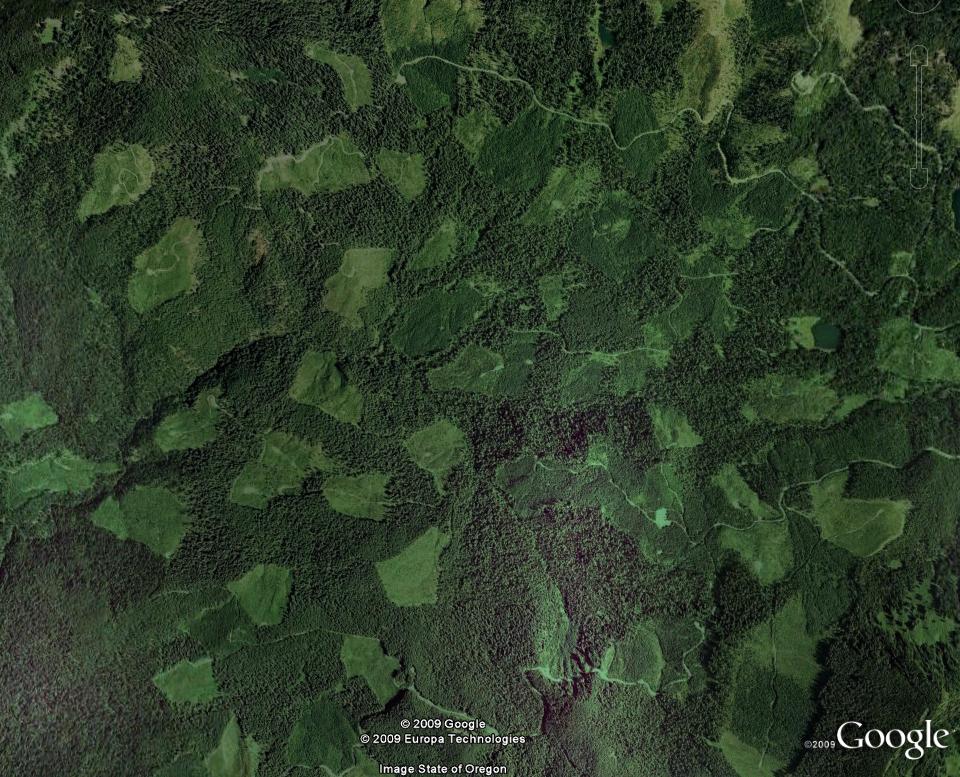
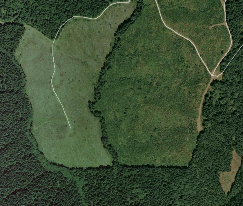
I was browsing Google Earth and I noticed this. Clearly man-made, the squares are exactly 1 mile on each side. My guess was some sort of allotments for logging companies, designed to not completely destroy the forest but rather preserve some level of density. It's definitely NOT an imaging thing, zoom in on it and you'll see. This pic is about 25 miles southwest of Eugene, OR. You can't miss it.
Can anybody confirm this?
![[http://img693.imageshack.us/img693/341/26943957.jpg]](http://img693.imageshack.us/img693/341/26943957.jpg "http://img693.imageshack.us/img693/341/26943957.jpg")
Can anybody confirm this?


